Click on an icon below to download a full size map.
-
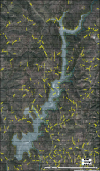
Project Map
Show a layout of the overall Centennial Water Supply Project, including surrounding roads and trails.
-
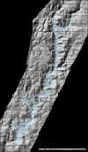
Hillshade
Satellite photo of the project, including hills and natural resources surrounding proposed Centennial Reservoir.
-
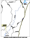
Centennial Vicinity
Overview of various vicinities in and around Centennial Reservoir.
-
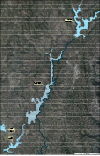
Aerial
Aerial view of the Centennial Reservoir site, including locations of other surrounding reservoir sites.


